
Electromagnetic IMAGINING of deep SUBMARINE freshwater
This research harness a joint-interpretation approach, using a surface-towed controlled-source electromagnetic (CSEM) system in conjunction with high-resolution multi-beam for seafloor mapping and water column scanning for 2-D resistivity and 3-D magnetic imaging of deep submarine groundwater deposits offshore Hawai'i volcanic islands. This study reveals a novel onshore to offshore transport mechanism of freshwater in Hawai'i (Attias et al., 2020), most likely the governing mechanism in other volcanic islands worldwide. The CSEM inversion also imaged multiple large-scale freshwater plumes extending from the seafloor to the ocean surface (Attias et al., 2021). This experiment offers an effective method to elucidate hydrogeologic and ocean processes that affect biogeochemical cycles in coastal waters worldwide.
Visualization of seafloor-to-ocean surface freshwater plumes offshore Hawai'i.
This marine CSEM project used a newly developed surface-towed marine electromagnetic Porpoise CSEM array system owned by the Scripps Institution of Oceanography EM laboratory. 2-D CSEM inversion algorithm been implemented to image and characterize the spatial distribution, interconnectivity, and transport mechanism of freshwater from the coastal aquifer to offshore Hawai‘i via a deep submarine groundwater multilayer system. Link to the project website: IkeWai Marine CSEM
GAS HYDRATE imaging offshore NORWAY
For this project I developed a robust controlled-source electromagnetic (CSEM)-seismic-rock physics joint-interpretation scheme; for the detection, delineation, and quantification of sub-seafloor gas hydrate structures, Off shore Norway (Attias et al., 2016). For this purpose, I processed, analyzed and interpreted separately and jointly three datasets: CSEM, seismic and sediment cores datasets (Attias et al., 2018). These datasets are compared with SCA/DEM effective medium models to derive a robust estimation of gas hydrate saturation (Attias et al., 2020).
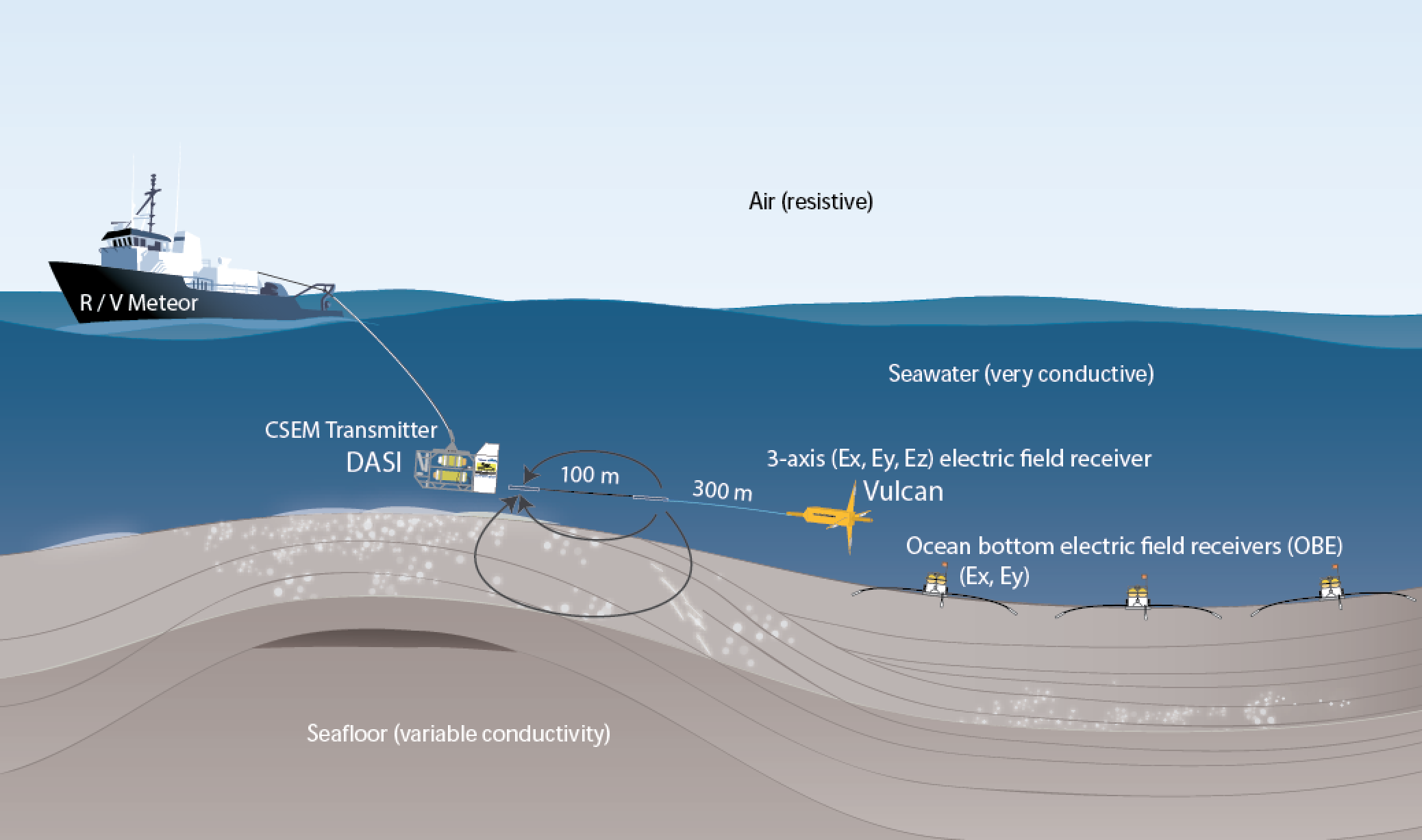
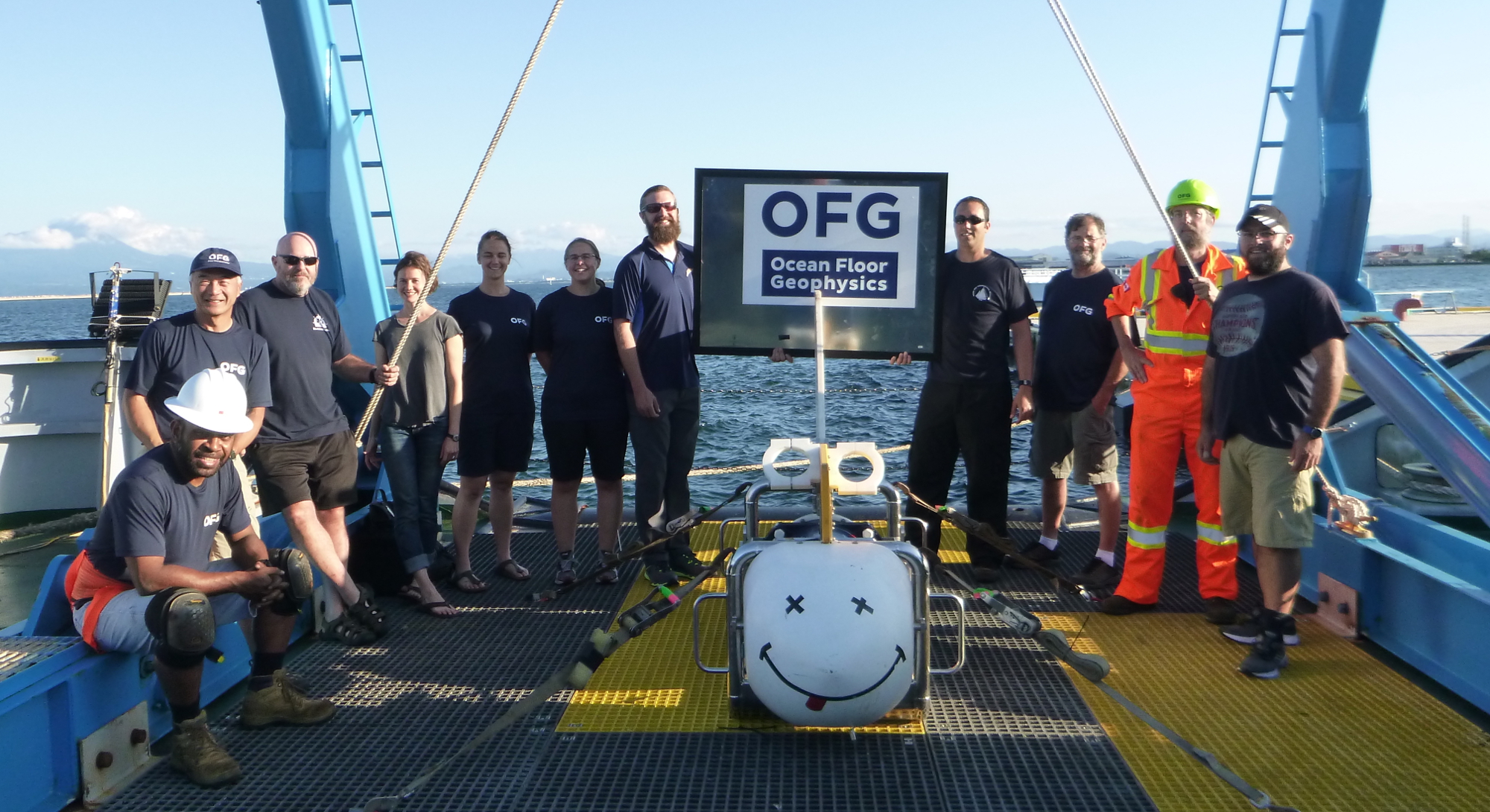
BLACKSMITH & KAJIYA: gas hydrate exploration in japan
Marine EM geophysicist consultant for Ocean Floor Geophysics. The project involved the operation of a CSEM array, acquisition, and processing of large dataset, to yield a high-resolution imaging of three
gas hydrate fields, Offshore Japan. The data were acquired by a towed CSEM system, employing the Vulcan instrument that was developed by the Scripps Institution of Oceanography. Project link
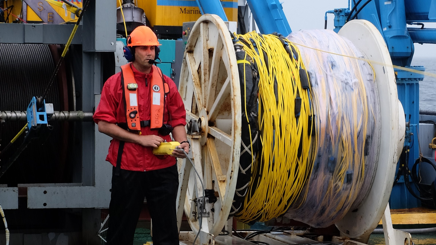
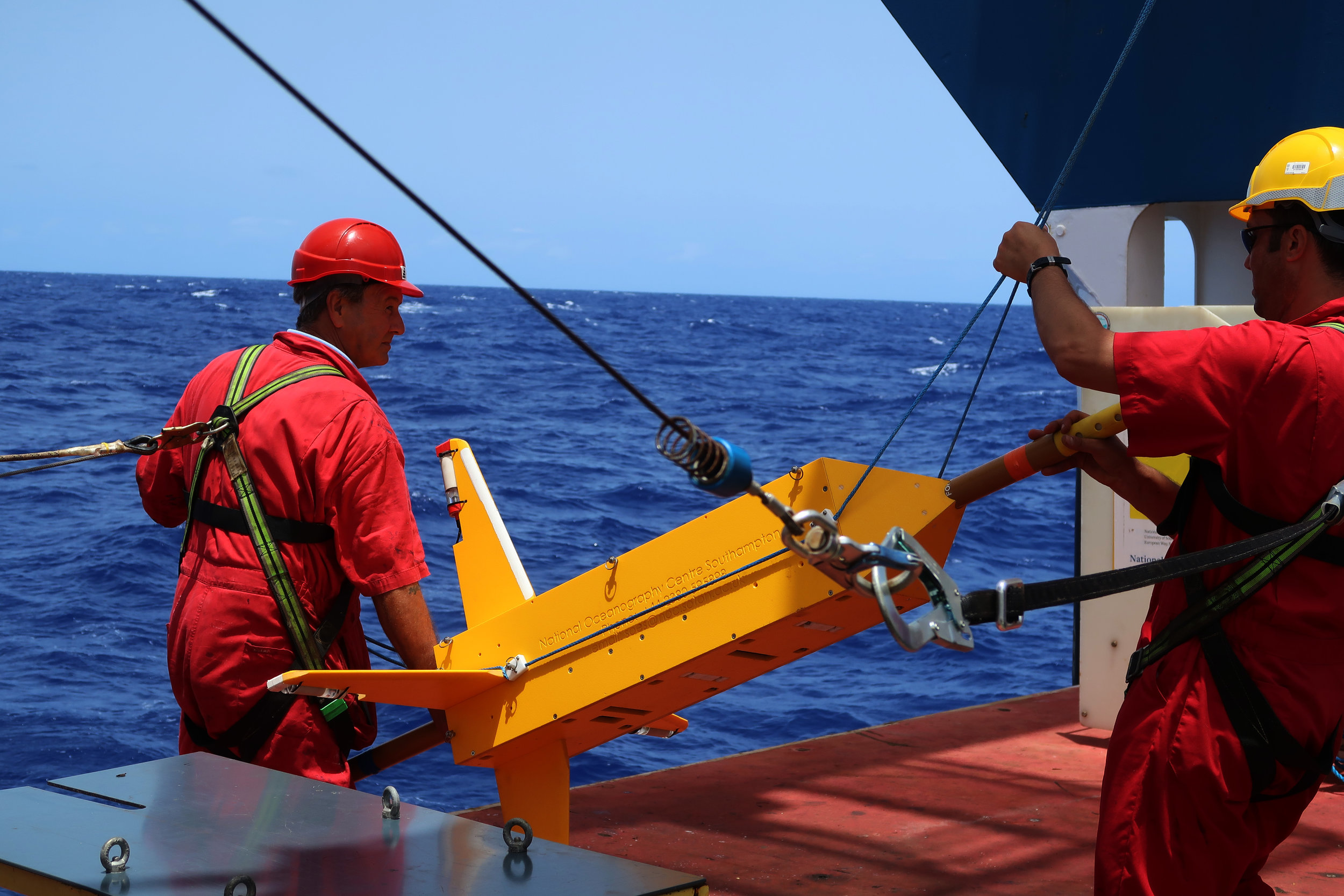
BLUEMINING: seafloor massive sulfide RESEARCH
This project characterize seafloor massive sulfide (SMS) accumulations at extinct hydrothermal systems at the vicinity of the active TAG hydrothermal vent. In this project, I aided in designing the CSEM survey (pre-survey synthetic modeling), operated the University of Southampton CSEM deep-towed system, processed the preliminary data, and generated on-site pseudosections. I also assisted in performing 2-D CSEM inversion (Haroon et al., 2018), demonstrating the effect of fluctuated 3-D bathymetry on 2-D modeling. This study provides significant evidence for SMS deposits at these extinct hydrothermal systems. Project link